Explore the IGS Interactive Maps Below
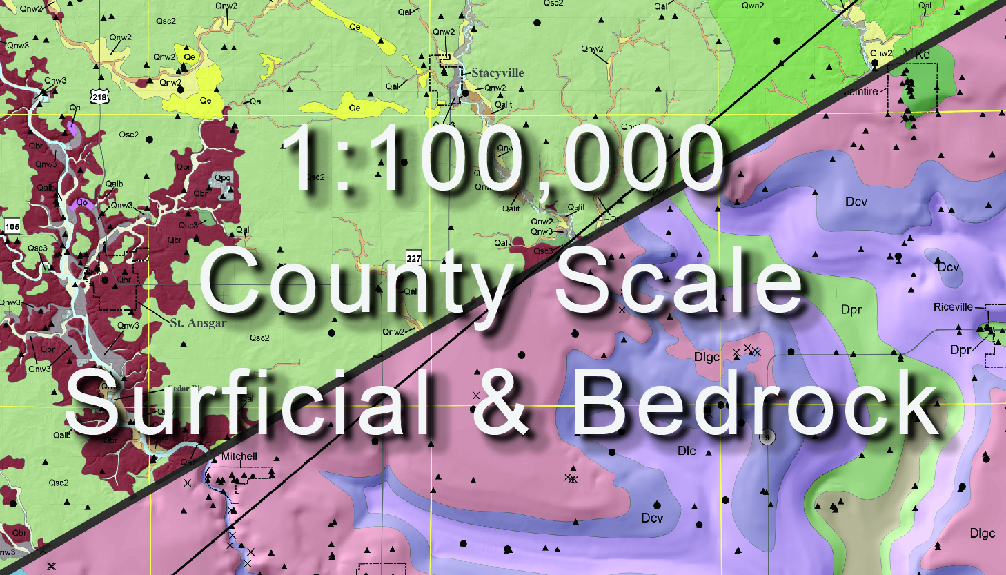
County Surficial and Bedrock
County scale surficial and bedrock map pdf's and shapefile downloads for all available counties.
1:100,000
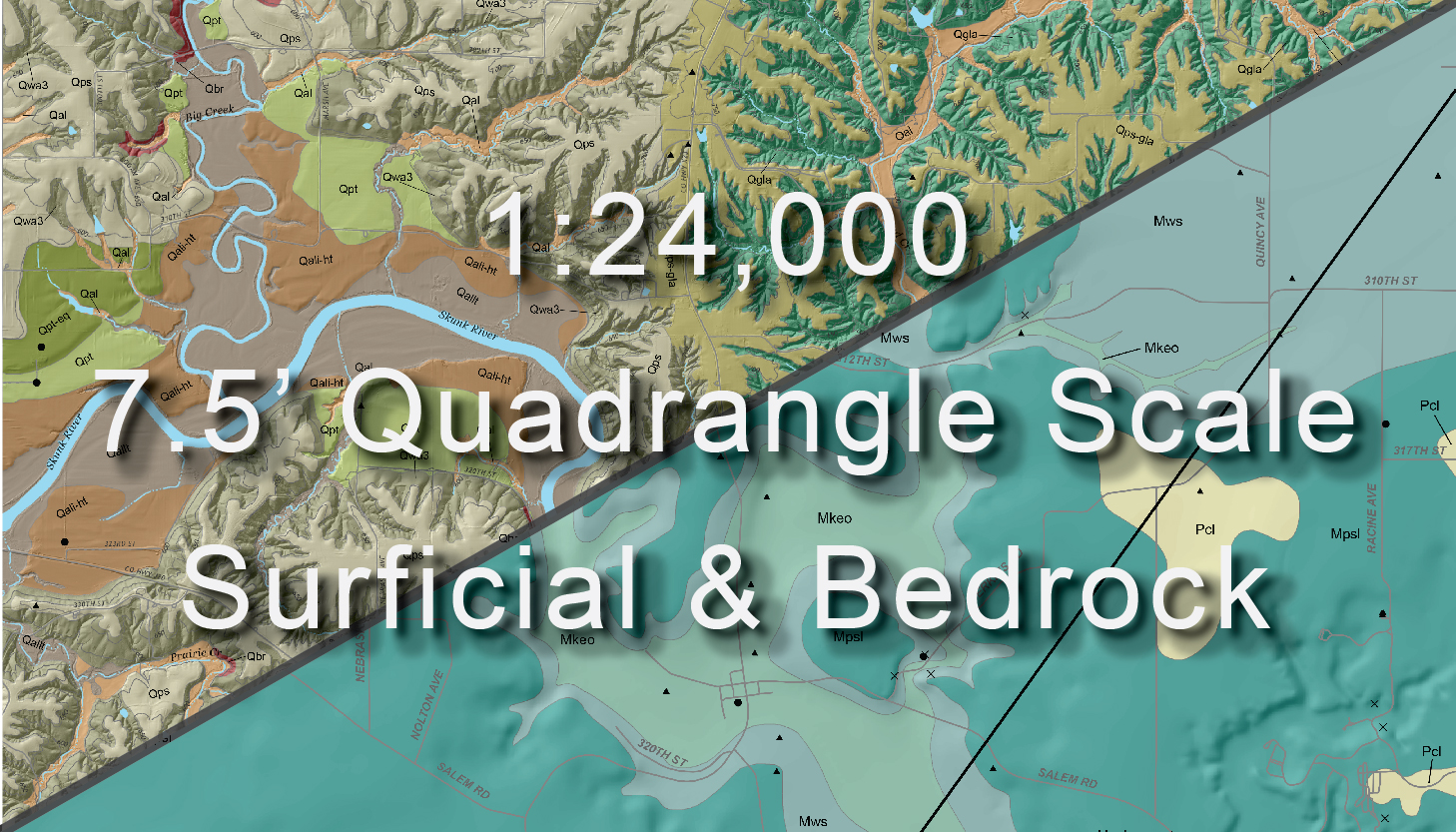
Quadrangle Surficial and Bedrock
7.5' Quadrangle scale surficial and bedrock map pdf's and shapefile downloads for all available quadrangles.
1:24,00
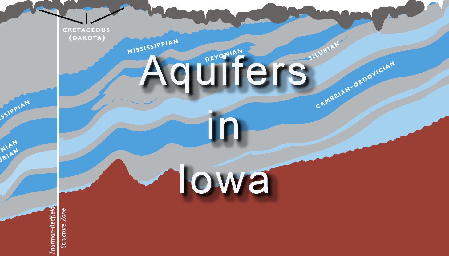
Aquifers
Water for drinking, agriculture, and industry in Iowa largely comes from various aquifers within the state. The aquifer mapping application allows users to click any location in Iowa and view the bedrock aquifers available in that area. Additional information about each aquifer can also be accessed through the application.
Landscapes
Learning more about the features of Iowa’s landscape increases our understanding and appreciation of the views around us and the ground beneath our feet. - Jean C. Prior


